 Few countries have as confusing a past as Germany. Over the centuries literally hundreds of small kingdoms and territories existed, swelling and falling through war and domination. Beginning as early as 843, larger territories were broken up into hundreds of small lands. The people of these various lands spoke a similar language and shared many of the same customs; yet, no leader could bring them under the control of a single king or government. The squabbling and constant border changes lasted until 1871, when the German Empire was established.
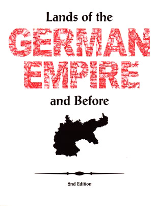
The Lands of the German Empire and Before examines the history and maps of the ever changing lands which comprise, for the most part, today’s Germany. Author Wendy K. Uncapher has take the map of the German Empire and broken it down by individual states. She then examines each state in detail, providing maps and key historical facts for each. Uncapher also takes a detailed look at Prussia, describing exactly what and where it was in its own chapter. Chapter 3 of the books takes a quick look at the overall map of the German area through major historical periods, broken down as follows:
- Holy Roman Empire
- Confederation of the Rhine
- German Confederation
- North German Confederation
- German Empire
- Weimar Republic
- Third Reich
- Allied Occupation
- Federal Republic of Germany and German Democratic Republic
- Federal Republic of Germany
To genealogists researching their Germany heritage, especially prior to 1919, The Lands of the German Empire and Before is an indispensable tools for finding place names for cities and lands which have come and gone, or may exist today under a different name. With historic timelines, points of interest, and alternate names, this book is not lacking in interest or useful information. See all this book as to offer in the table of contents, listed below.
Table of Contents
Preface
Turning Points for the German Empire
Chapter 1: States of the German Empire
Chapter 2: Prussia
Chapter 3: Eras of German Political History
Lands of the Holy Roman Empire
Rivers and Ports
Rulers of Major German States and Dynasty Families
Glossary
Internet Sources for Town Lists
Gazetteers
Bibliography
Index
Following is a List of Maps provided in the book (note: the individual states are grouped together as Kreise Maps covering pages 9–70):
- Allied Occupation
- Berg, Mark, Kleve, Julich
- Bishopric and Archbishopric Territories
- Black Forest
- Confederation of the Rhine 1806–1814
- Europe in 1871
- Federal Republic of German Democratic Republic 1949–1990
- Federal Republic of Germany (Deutschland) 1990–present
- German Confederation 18115–1866
- German Empire 1871–1918
- Grand Duchy of Berg
- Grand Duchy of Frankfurt
- Grand Duchy of Warsaw 1807–1815
- Grenzmark Posen-Westpreussen 1918–1938
- Holy Roman Empire of the German Nation 800–1806
- Kingdom of Westphalia
- Kreise Maps (individual states)
- Luxemburg
- North German Confederation 1867–1870
- Partitions of Poland 1772, 1793, 1795
- Polish Corridor
- Prussia, Growth of
- Rivers and Ports
- Saarland
- Schaumburg
- Stem Duchies 843
- Sudentenland
- Swedish Land in Germany
- Teutonic Knight’s Land
- Third Reich 1933–1945
- Weimar Republic 1919–1933
Get a copy of The Lands of the German Empire and Before for your own or a society library; available at Family Roots Publishing; Item #:Ogerman.