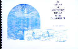
 Some of the best books I reviewed this year were U.S. atlases and gazetteers. I think my favorites were part of the “An Atlas of” series, including:
- An Atlas of Northern Trails Westward From New England
- An Atlas of Appalachian Trails to the Ohio River
- An Atlas of Southern Trails to the Mississippi
- An Atlas of Trails West of the Mississippi River
- An Atlas of Settlement Between the Appalachian Mountains and the Mississippi-Missouri Valleys 1760-1880
These unique map books show the migration and population spread of early colonists and their descendant from the colonial days through the California Gold Rush years. Each has focuses on trail and settlements.
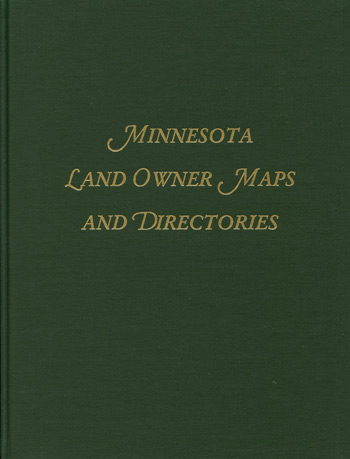
Between 1980 and 1994 the number of published Minnesota county atlases grew from 411 to 1072 titles. Because of the sheer quantity of atlases available, this book is extremely valuable for genealogical research. Minnesota Land Owner Maps and Directories is a reference to these county atlases. This directory provides a county by county listing of published works.

Large maps are fun and useful, if just for the details they can show. The Genealogical County Map is a large format, 27″ by 39″, map of the United States. This map shows rivers, lakes, state capitals and every county by name. Maybe its the genealogical geek in me, but an over-sized map of state counties is just cool.
